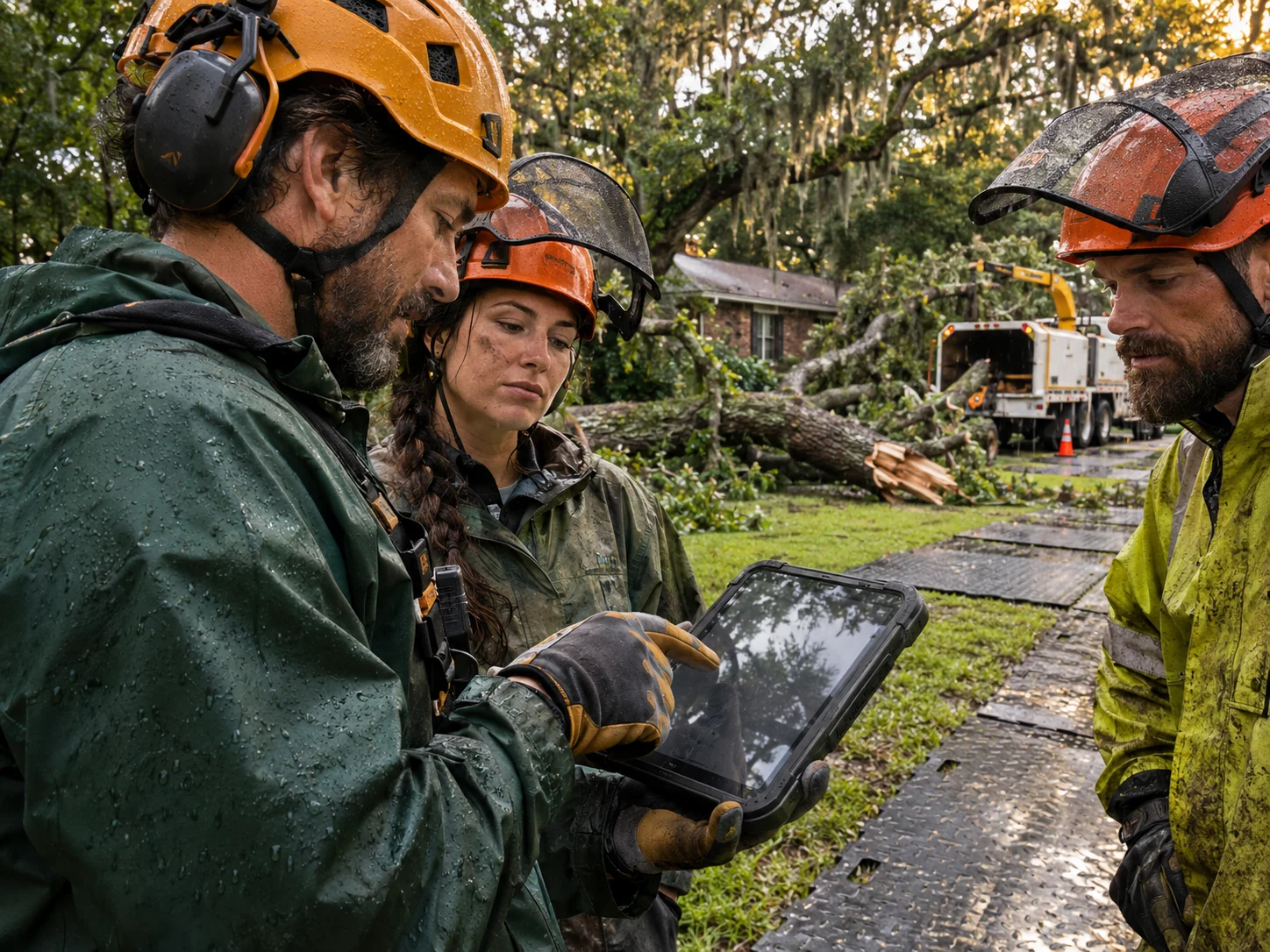
What does STORMinator do today?
The workspace combines NWS alerts, NOAA Local Storm Reports, SPC reports and OpenFEMA declaration records with source health, mapped review, road planning and deployment calculations. Operations adds private job files, required stages, uploads, captions, actual equipment intervals and ZIP export. Server monitoring runs on a schedule and creates in-app review alerts. Separate crew logins and ad-platform activation are still pending.
How is the crew workspace different?
The operations workspace keeps server-saved customer/address records and original files together. Six required stages lead from intake through actual submission records; missing required items block progression. Structure contact, access obstruction and other property conditions have different scene-record prompts. Owner records are private, and each public demo session is isolated. Individual crew accounts are the next release.
Can it pinpoint the exact home where a tree fell?
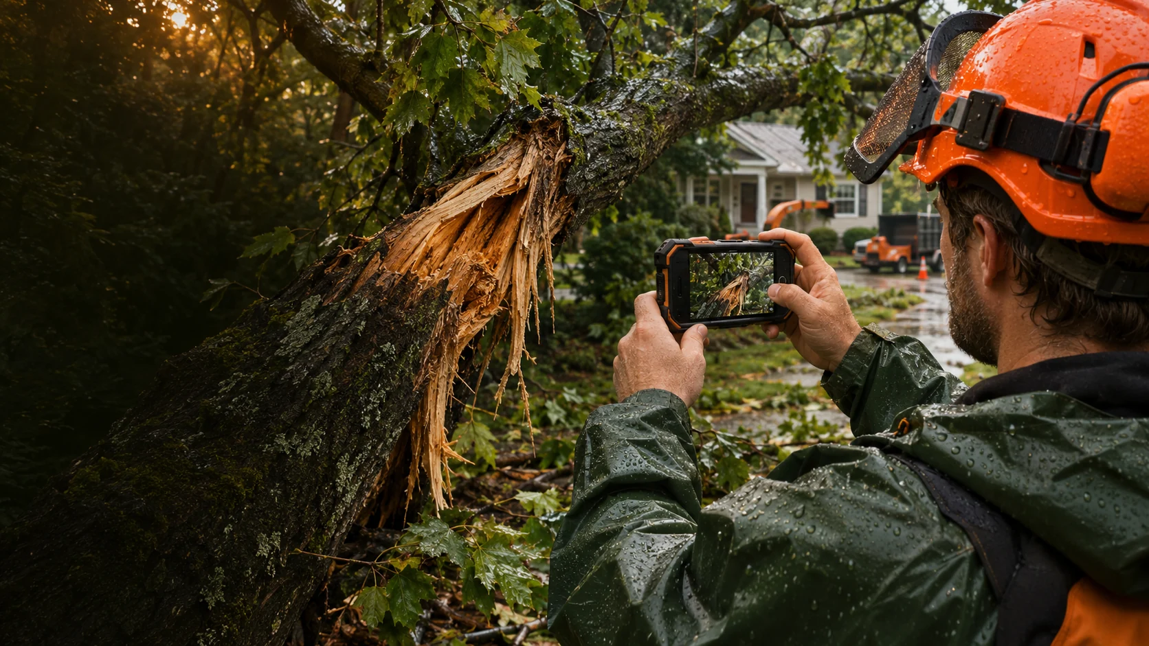
Weather alerts and storm reports alone cannot establish damage at a particular home. A report point may describe a broad location or an observation away from the property. A confirmed job address, customer-supplied information, photos and field verification are needed to build a reliable property-level record. STORMinator treats the weather signal as a starting point for review.
Which states are in the live demo?
The current weather view focuses on Georgia, Alabama, Mississippi, Illinois, Indiana, Ohio and Arkansas. These are monitoring priorities. Being visible on the map does not establish that an operation is licensed, authorized to advertise or cleared to use a contract in that state. Wider coverage can be discussed during access planning.
Can the workflow change for a roof or blocked driveway?
Yes. In the job workspace, the scene record asks for structure-contact details, access/entry-and-exit observations or failed-tree/property details according to the recorded condition. Shared requirements include the site record, factual captions, approved terms and actual work. The shorter walkthrough on this page lets you try the checklist interaction.
Does STORMinator decide insurance coverage or payment?
No. The platform is for organizing information and operational decisions. It does not classify a claim, guarantee coverage, determine payment responsibility or replace an insurer’s review. Advertising language, customer terms, any service charges and contracts need to match the rules and approvals that apply to your operation.
Can we use our own equipment and rate card?
The live calculator accepts equipment quantities, work hours, daytime rates, after-hours choices, fixed charges and surcharge decisions. The public demo uses rates you enter. The existing owner workspace keeps its source rate card behind separate access. Estimated work billing is revenue; actual fuel, labor, lodging and operating costs need to be entered separately to assess the response.
How accurate are the driving and arrival calculations?
They use a road route plus the prep, stop, buffer and delay inputs in your plan. The destination timezone is looked up by location when available. The current road engine estimates car travel and does not account for all commercial-truck restrictions, live closures or traffic. Your team must confirm the truck route, driver hours, permits, address and actual availability.
Will it launch ads or dispatch a crew automatically?
The current workspace can prepare a campaign brief and record planning approvals, en-route status and arrival in the browser. It does not spend an ad budget, send outreach, contact property owners or physically dispatch trucks. Those actions remain with your authorized team and connected operating systems.
Where are plans and customer records stored?
Quick planning-board notes remain in the browser. Operations job files, captions, equipment intervals and activity records are stored privately on the server. Original uploads retain their bytes and metadata, with a SHA-256 checksum. The owner workspace is separated from public demo sessions. Public-demo files are disposable and retained for 24 hours; use test information there. Export a job ZIP for a portable package.
How do monthly and yearly plans work?
Monthly launch pricing is $199 for Scout, $349 for Crew and $599 for Command. Yearly pricing is $1,990, $3,490 and $5,990 respectively, paid as one annual amount after activation. That saves the equivalent of two monthly payments. Package access, timing and applicable terms will be confirmed before payment. Selecting a plan here submits an access request, not a paid subscription.
Can this fit alongside the tools we already use?
The aim is to make storm-response decisions and field documentation easier to follow alongside your existing operation. The live workspace exports JSON plans and job ZIP packages with original files. CRM synchronization, accounting connections, insurer-portal delivery and custom integrations are not currently connected. Tell us what your team uses so the crew rollout can be scoped around the work that matters.
How do state rules and source-change alerts work?
The research framework covers 50 states plus DC and 13 review categories. Initial official-source research focuses on the priority states and Iowa. Categories without completed research remain pending. Source content is checked on a schedule; changes, unavailable sources, new storm signals and entered job targets can create review alerts. A source change is a prompt to review, not proof that a law changed. Written scope, source references and current reviewer records are required before a state review can clear in the workspace. The software does not promise exhaustive legal coverage.
Are scanner, road and utility feeds all connected?
The source registry lists 16 provider groups and clearly separates automatic, manual and unconfigured sources. Four automatic feeds are currently connected. DOT APIs, CAD, scanners, utilities and other networks depend on provider access, geographic coverage and commercial usage rights. Reports retain their actual precision; broad warning areas and rounded report points are not confirmed home addresses. NWS and SPC reports may repeat the same observation.